Ploo Sektor: Unterschied zwischen den Versionen

Aus Holopedia
Zur Navigation springenZur Suche springen
 
Zeile 1: Zeile 1:
 
[[Kategorie:Sektoren]]
 
[[Kategorie:Sektoren]]
 
[[Kategorie:Expansions Regions Cluster]]
 
[[Kategorie:Expansions Regions Cluster]]
[[Kategproe:Ploo Sektor]]
+
[[Kategorie:Ploo Sektor]]
 
[[Kategorie:Hydianische Handelsstraße]]
 
[[Kategorie:Hydianische Handelsstraße]]
 
[[Kategorie:Mandalorische Handelsroute]]
 
[[Kategorie:Mandalorische Handelsroute]]

Aktuelle Version vom 16. Juni 2019, 15:09 Uhr

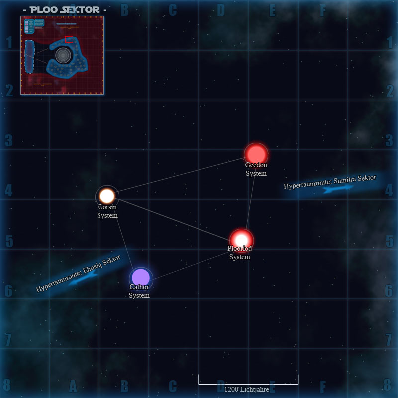
Taktische Karte des Ploo Sektors
( Die Systeme auf der Grafik können angeklickt werden )
Expansions Regions ClusterCorsin SystemPlooriod SystemCathor SystemGeedon SystemEhosiq SektorSumitra SektorPloosektor.jpg
Über dieses Bild
Informationen
Bekannte Systeme


Hauptsystem: Corsin
Lage: Expansions Regions Cluster
Systeme: 11
Einflussbereich: 8500 Parsec
Info
Datei:Blackfelkl.png
Blackfel System
Info
Datei:Cathorkl.png
Cathor System
Info
Datei:Chenniskl.png
Chennis System
Info
Corsinkl.png
Corsin System
Info
Datei:Denuhikl.png
Denuhi System
Info
Datei:Geedonkl.png
Geedon System
Info
Datei:Leafarkl.png
Leafar System
Info
Datei:Plookl.png
Ploo System
Info
Datei:Plooriodkl.png
Plooriod System
Info
Datei:Serrocokl.png
Serroco System
Info
Datei:Telkadiskl.png
Telkadis System


Besonderheiten und geschichtliche Ereignisse


Die Hydianische Handelsstraße und die Mandalorische Handelsroute durchlaufen den Sektor.

Quelle

  • Wookiepedia
  • The Essential Atlas
  • StarWars.com
  • Star Wars Empire